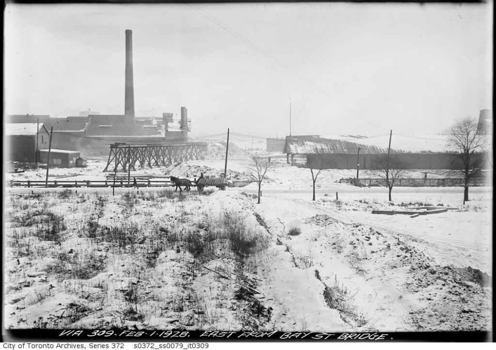
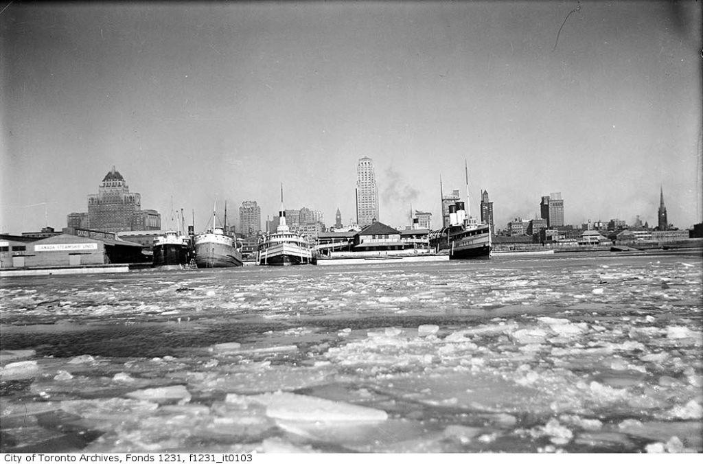
Looking east along the waterfront from Bay Street Bridge, February 1, 1928
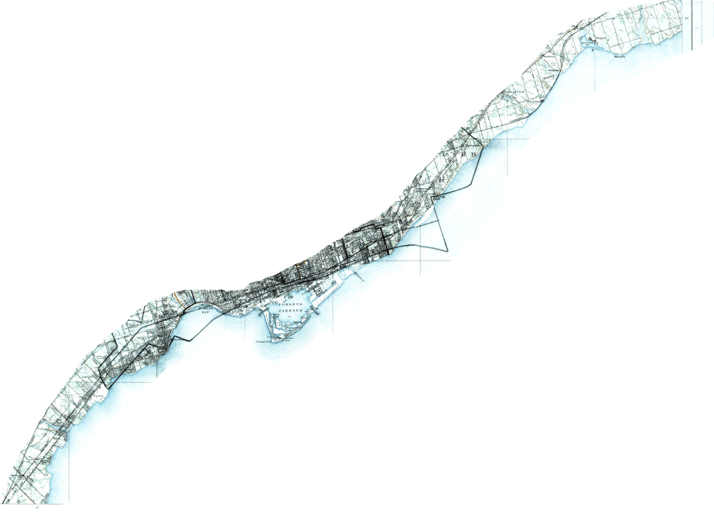
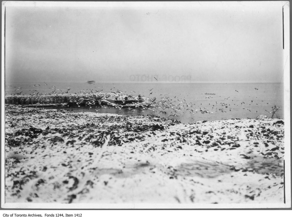
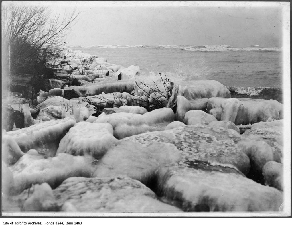
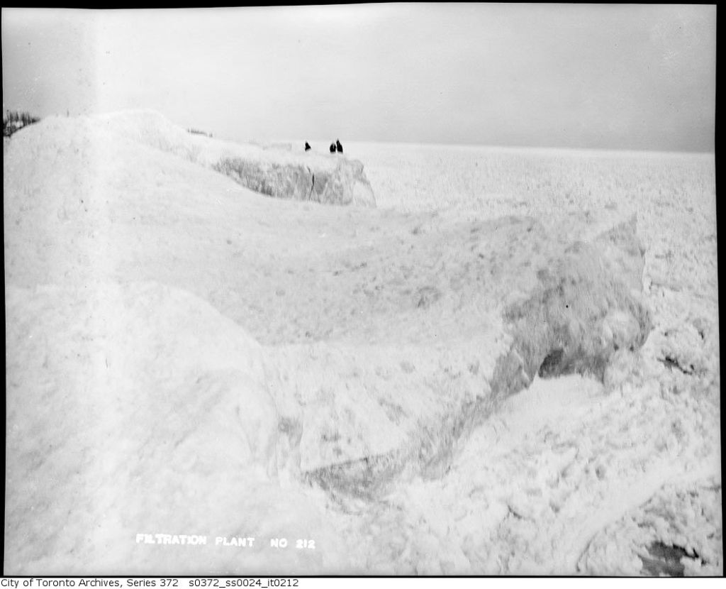
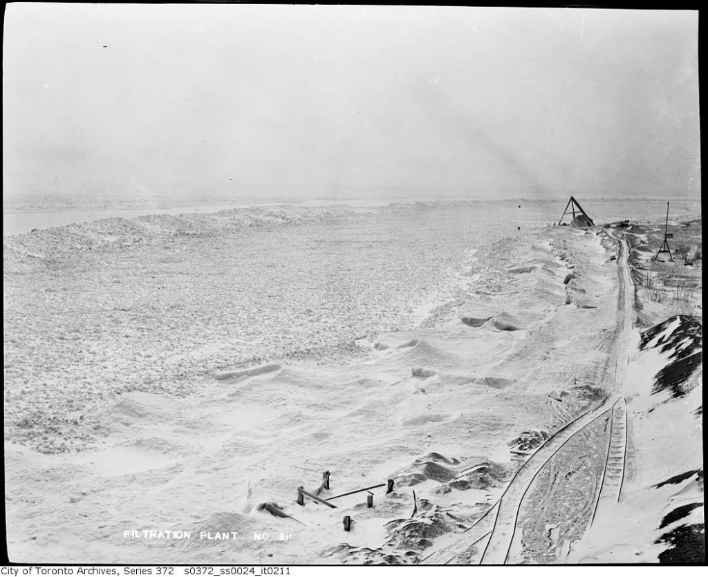
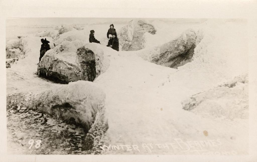
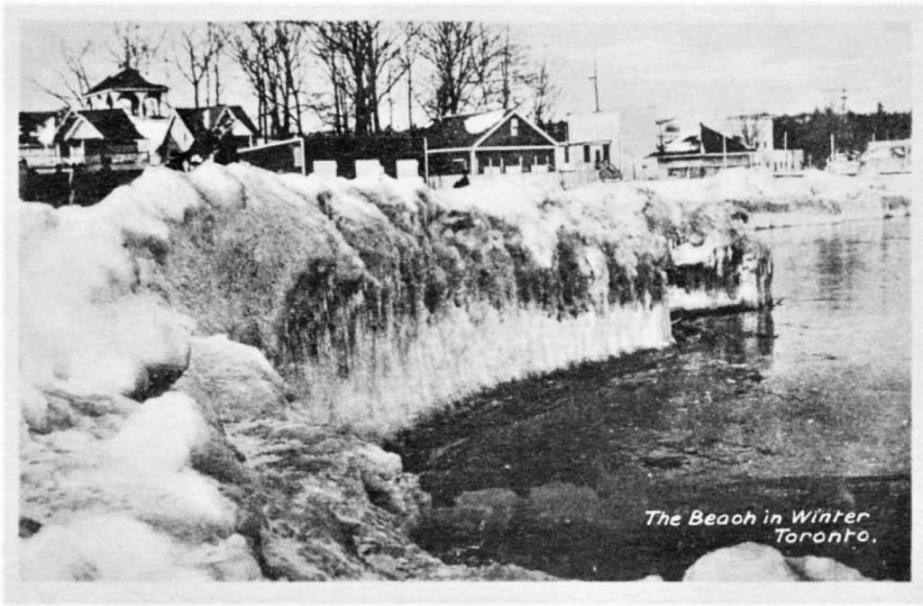
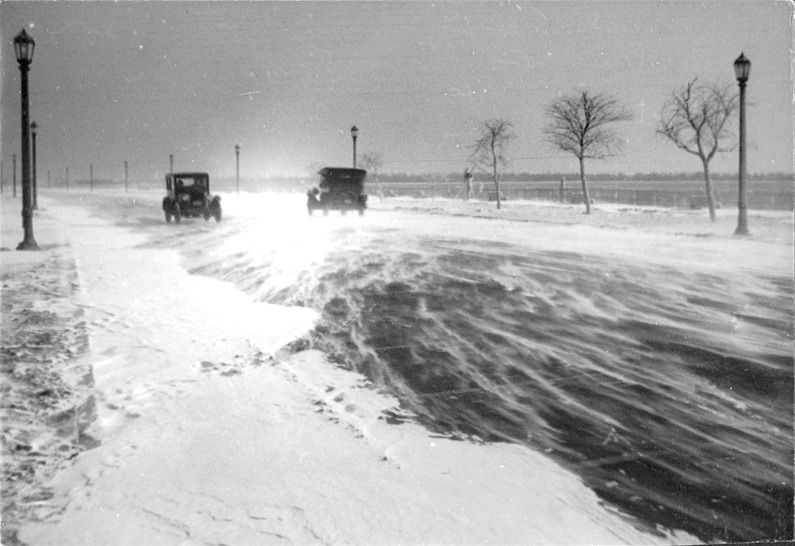
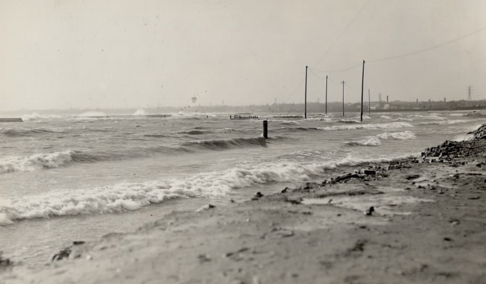
Waterfront. – [1908?] taken at either the CNE or Sunnyside.Shoreline in winter. – 1908Island lake shore in winter showing snow and ice buildup, figures in distance – 1911Island lake shore in winter showing snow and ice buildup – 1911Winter at the Beaches, ca 1913, TPLThe Beach in winter, Toronto, ca 1924Lakeshore Boulevard, Winter 1925View Toronto Harbour 1928, showing grain fleet in winter storage berthsSunnyside, 1928, TPLToronto Harbour winter 1934 by James Victor Salmon


Leave a comment