
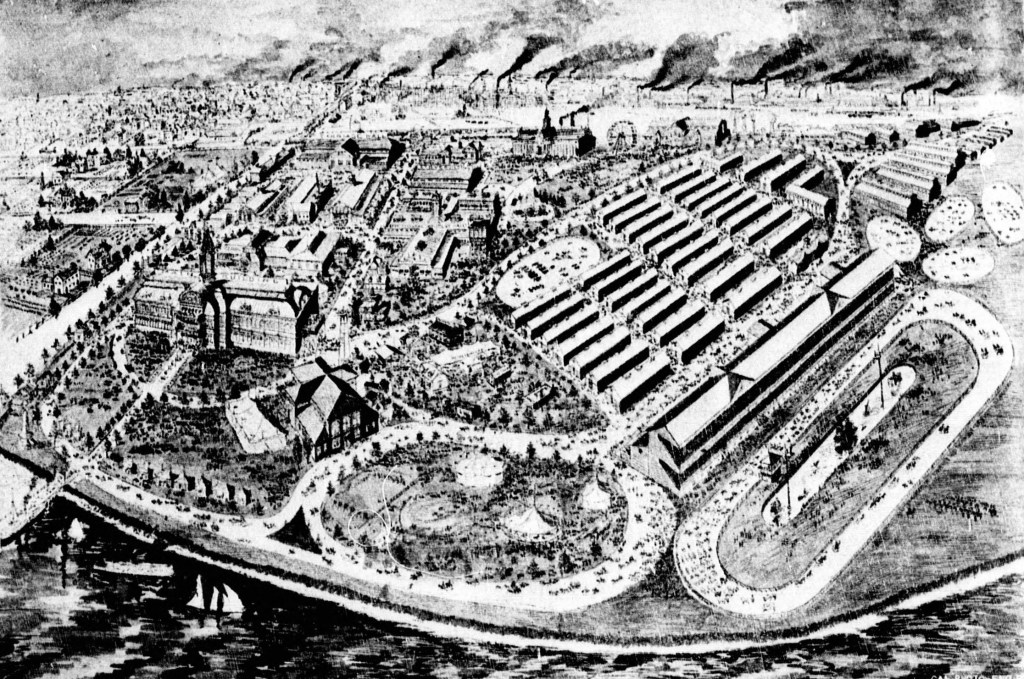
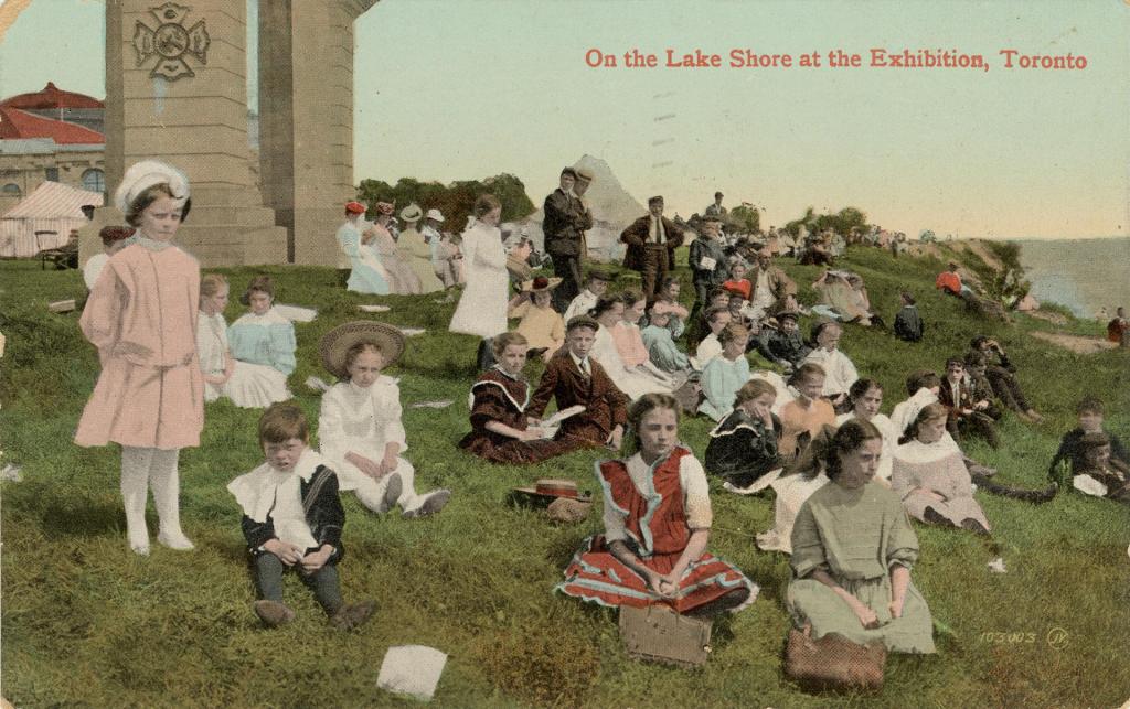
Today I am posting a gallery of images showing the coast at the Canadian National Exhibition. Nothing could illustrate how Toronto’s shoreline is changing better than a review of that area over time. And more changes are in the works as Doug Ford’s government puts its plans for Ontario in place. This old illustration shows the Ex when it was directly on the water.
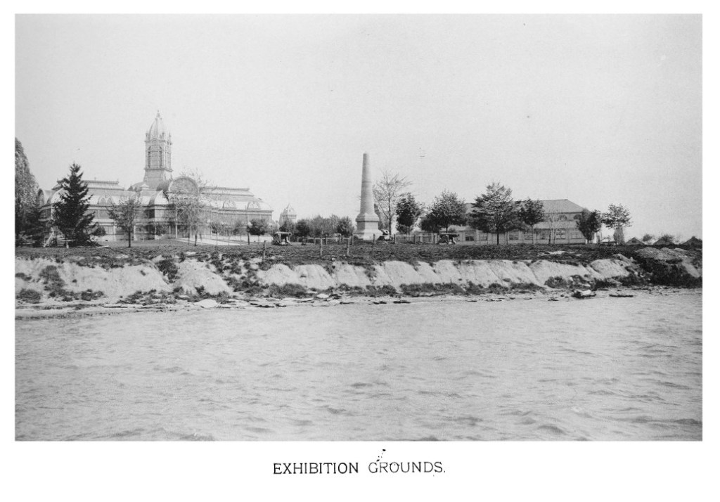
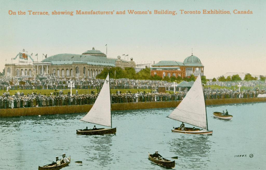
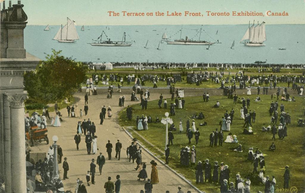
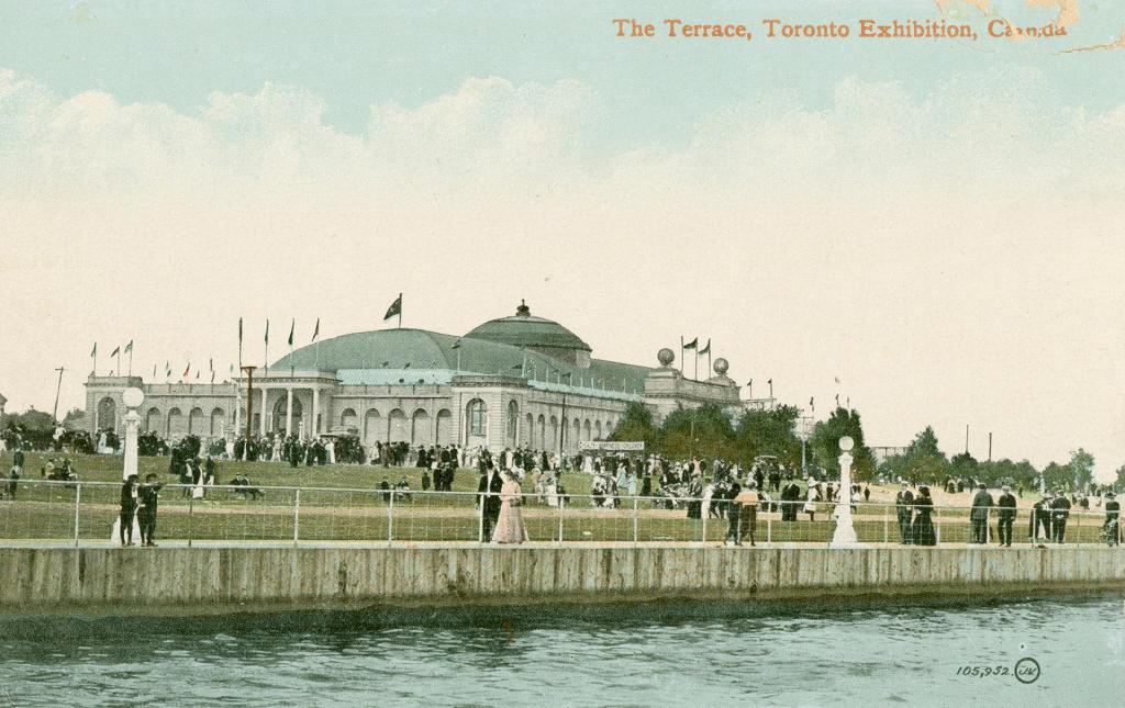
This photograph speaks volumes. On the left is Toronto’s very own Crystal Palace. In the centre is the Fort Rouillé memorial obelisk and on the right is the Stanley Barracks, built in 1841, as part of the Fort York military complex. It and the obelisk are still standing. The cliffs mark the north side of what is now Lake Shore Boulevard.
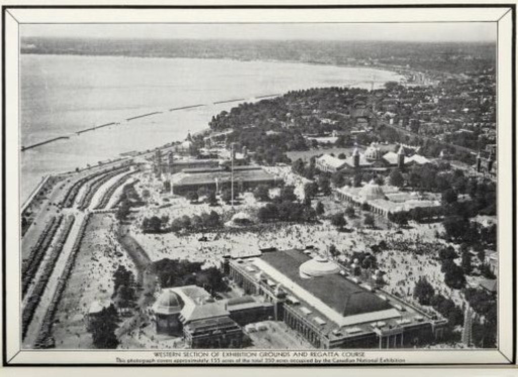
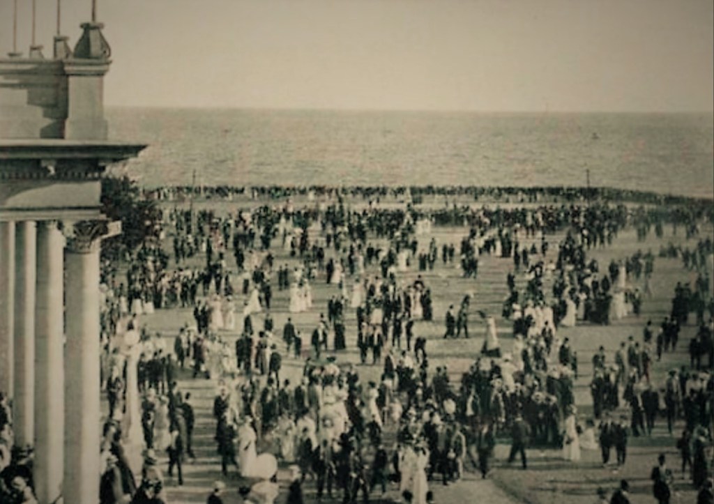
By 1931 the new Lake Shore Boulevard had cut the CNE off from the water and new breakwaters off shore hastened the degradation of the near shore waters there.
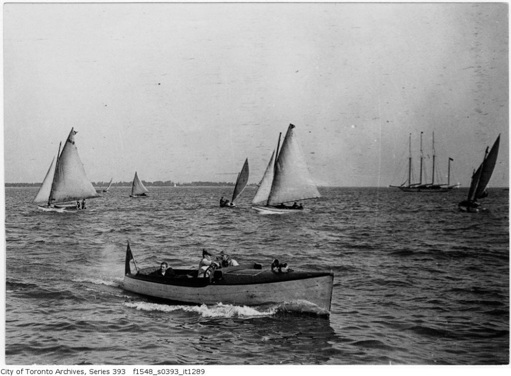
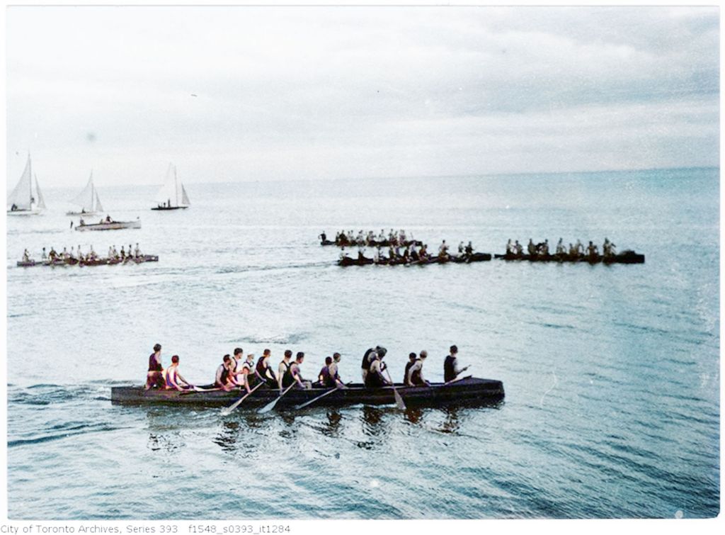
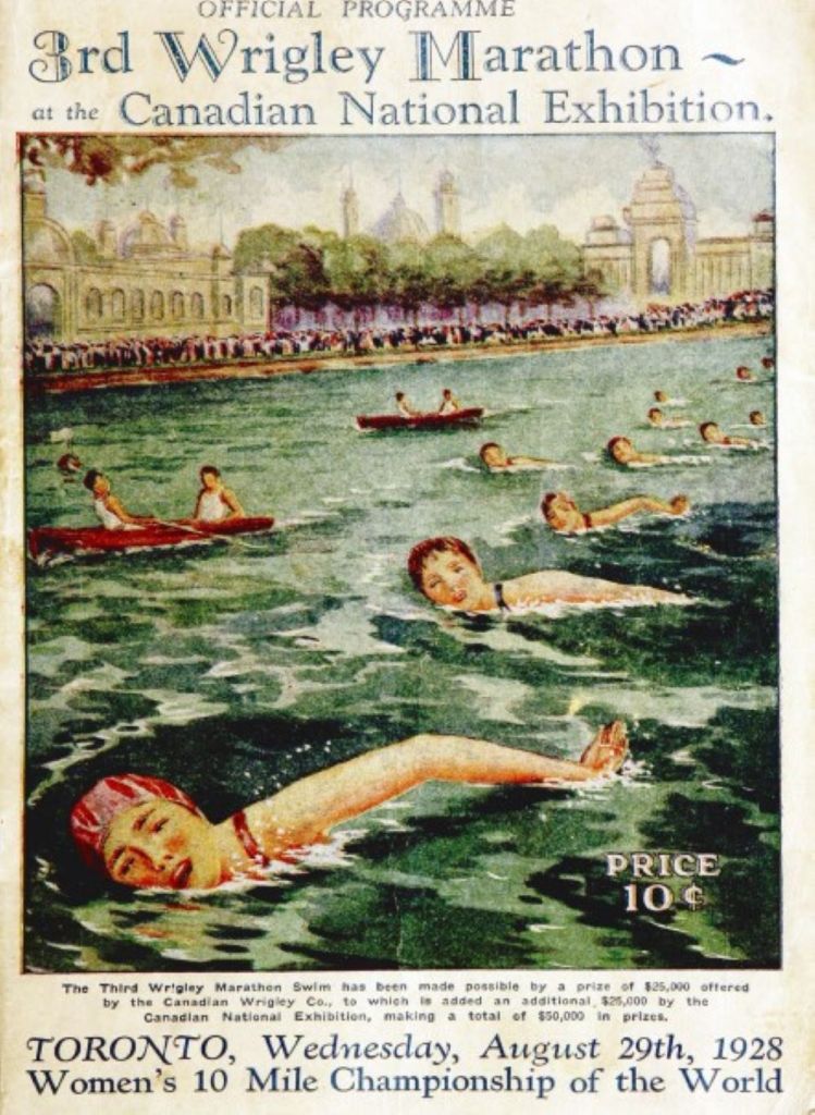
From its early days, the water and related sports (rowing, canoeing, swimming, sailing) were an integral part of the Ex. The waterfront and the Ex itself are now shadows of themselves, but I don’t want to end on a gloomy note. We are an inventive, creative species, always changing, the landscape and lakescape to suit ourselves. And, so, with new visions of what we want our world to be for the next seven generations ahead, we can reinvent Toronto’s coast too.


Leave a comment